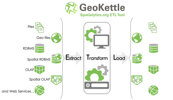
Acaba de ser lanzada la nueva versión community de Geokettle , esa gran iniciativa de Spatialytics
Lo nuevo en GeoKettle 2.5 here .
Descargar
Online Documentation
blog
forum
GeoKettle is a powerful, metadata-driven Spatial ETL tool dedicated to the integration of different spatial data sources for building and updating geospatial data warehouses. GeoKettle enables the E xtraction of data from data sources, the T ransformation of data in order to correct errors, make some data cleansing, change the data structure, make them compliant to defined standards, and the L oading of transformed data into a target DataBase Management System (DBMS) in OLTP or OLAP/SOLAP mode, GIS file or Geospatial Web Service.
GeoKettle
is a spatially-enabled version of the generic ETL tool
Kettle
(Pentaho Data Integration).
GeoKettle
also benefits from Geospatial capabilities from mature, robust and well know Open Source libraries like
JTS
,
GeoTools
,
deegree
,
OGR
and, via a plugin,
Sextante
.


