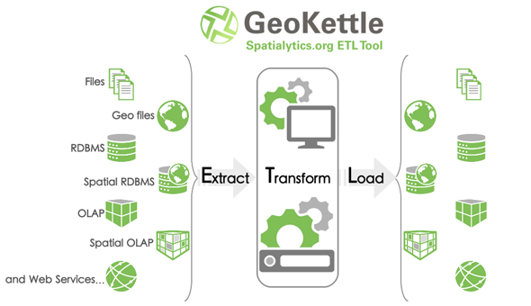
Ya hemos hablado de Geokettle, GeoMondrian, etc... en algunas ocasiones , y hoy tenemos la buena noticia de que ya esta disponible para descargar la versión 2.0 .
 Toda la información en
la web de Spatialytics
y en la de
Geokettle
.

Que es Geokettle?
GeoKettle is a powerful, metadata-driven Spatial ETL tool dedicated to the integration of different spatial data sources for building and updating geospatial data warehouses. GeoKettle enables the E xtraction of data from data sources, the T ransformation of data in order to correct errors, make some data cleansing, change the data structure, make them compliant to defined standards, and the L oading of transformed data into a target DataBase Management System (DBMS) in OLTP or OLAP/SOLAP mode, GIS file or Geospatial Web Service.
GeoKettle is a spatially-enabled version of the generic ETL tool Kettle (Pentaho Data Integration). GeoKettle also benefits from Geospatial capabilities from mature, robust and well know Open Source libraries like JTS , GeoTools , deegree , OGR and, via a plugin, Sextante .


